






Spatially Enabling Tree Crop Production Practice
Project code: AS23000
這 Spatially Enabling Tree Crop Production Practice project is supporting Australian horticulture industries to improve how tree crop production areas are mapped, analysed and used for industry decision-making.
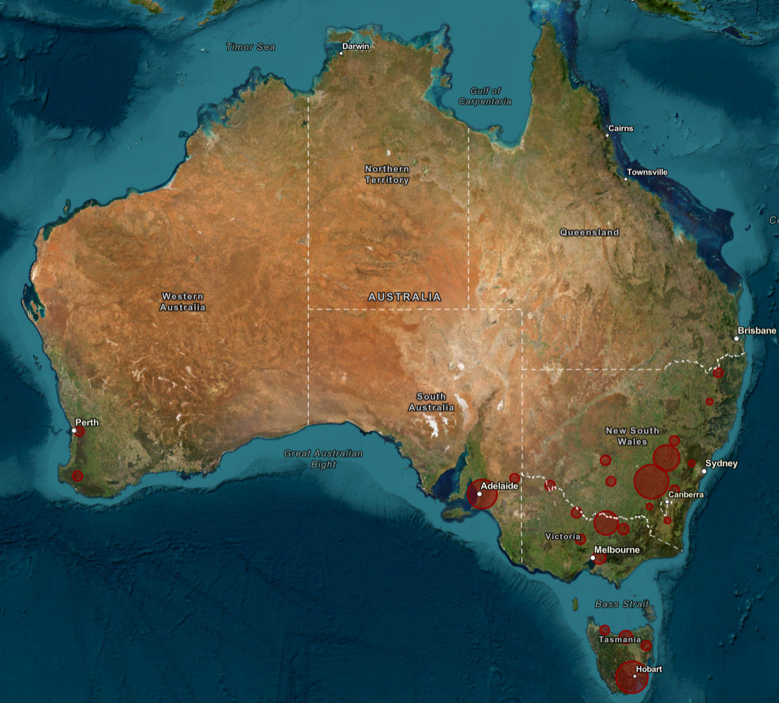
For the Australian cherry industry, the project has delivered the first baseline map of cherry orchards in the Australian Tree Crop Map, providing a clearer picture of where commercial cherry production is located across Australia.
The first published baseline map identifies 4,293 hectares of cherry orchards nationally.
Project Overview
The project is developing and updating the Australian Tree Crop Map, a national mapping resource that shows the extent and location of commercial tree crop orchards across Australia.
The map is developed by the Applied Agricultural Remote Sensing Centre (AARSC) at the University of New England and is informed by satellite imagery, computer vision, field validation, grower and industry feedback, and direct engagement with industry bodies.
For cherries, this work provides a national baseline of mapped orchard area, helping the industry better understand production distribution, support planning and respond to emerging risks.
Cherry Spatial Hub
The project has also delivered a dedicated Cherry Spatial Hub, which provides access to cherry mapping content in one location.
Through the hub, growers and industry stakeholders can access the National Map of Cherry, which allows users to:
- View mapped cherry production areas nationally
- Explore cherry orchard area by state or local government area
- Zoom in and out of the interactive map
- Click mapped areas to view summary metrics
- Define a custom area of interest using the summarise area tool
Why This Matters for Growers
Accurate and current mapping helps the cherry industry build a stronger understanding of national production areas and regional distribution.
This information can support:
- Industry planning and reporting
- Biosecurity preparedness
- Natural disaster response and recovery
- Improved understanding of production regions
- Future research, development and extension activities
- Better evidence for industry decision-making
The mapping also provides a useful tool to help industry assess potential impacts from events such as severe weather, bushfires or other natural disasters, supporting more informed response and recovery planning.
How the Map is Developed
The Australian Tree Crop Map is updated through a combination of:
- Satellite imagery
- Imagery analytics and computer vision
- Field validation
- Grower and industry feedback
- Direct engagement with industry bodies
- Quality assurance and quality control by AARSC
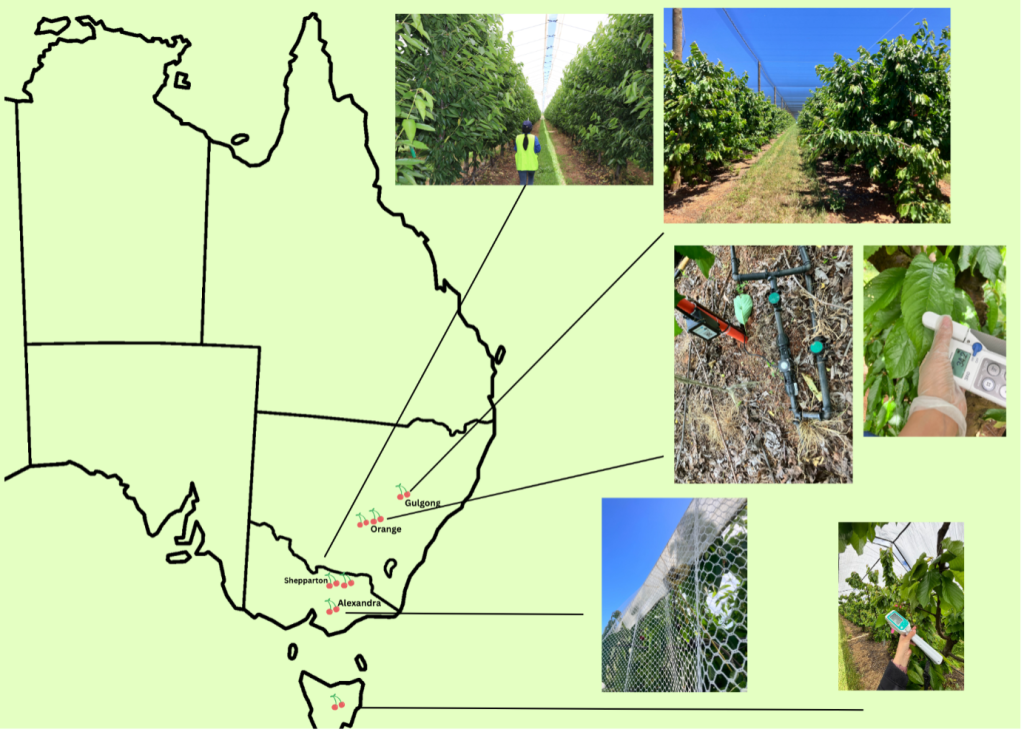
Field validation for cherry and summerfruit was undertaken from 30 November to 5 December 2025, timed to coincide with orchard fruiting and targeted at areas of known uncertainty in the draft map. This helped improve the accuracy of the mapped crop classifications, particularly where deciduous tree crops can be difficult to distinguish.
Project Partners and Funding
This project, Spatially Enabling Tree Crop Production Practice AS23000, is funded by the Hort Frontiers Advanced Production Practice, part of the Hort Frontiers strategic partnership initiative developed by Hort Innovation, with co-investment from the University of New England, Cherry Growers Australia and the CRC for Future Food Systems, with contributions from the Australian Government.